Governments should pay more attention to the role that bamboo and rattan can play in building more sustainable and greener economies, a pressure group has told a UN meeting.
“Bamboo and rattan are not always seen as tools to deliver on the Sustainable Development Goals. We believe they bring major opportunities,” the International Network for Bamboo and Rattan (INBAR), an intergovernmental group based in Beijing, China, told the UN Forum on Forests in New York, United States earlier this month.
“Modern bamboo houses are more flexible in an earthquake, as they flex and absorb some of the energy.”
Hans Friederich, International Network for Bamboo and Rattan
For example, bamboo can reduce soil erosion and restore degraded lands, and ultimately help protect the livelihoods of people who depend on forest ecosystems. Products derived from the two plants could also bring income to millions of people in developing countries, the group says.
INBAR, which has 40 member states, called on policymakers to include bamboo and rattan in their action plans for forest development.
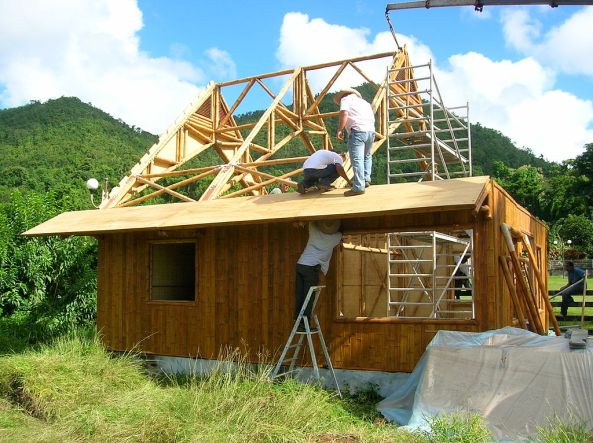
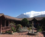
Construction of a 100% bamboo house in Martinique, certified earthquake and cyclone resistant.
Credit: J’ai pris cette photo
INBAR also presented the Global Assessment of Bamboo and Rattan, an initiative that aims to exchange knowledge and data about bamboo and rattan. The assessment is expected to be launched at the World Forestry Congress in Durban, South Africa, in September 2015.
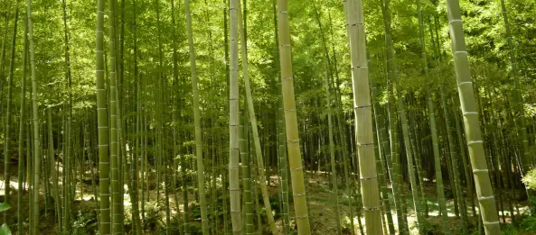
Bamboo and rattan grow across much of the developing world, including in many equatorial countries in Asia, Africa, Latin America and the Caribbean. They make good alternatives to wood charcoal and cotton fibres, and bamboo can be burned or used in biogas systems to provide a sustainable source of bio-energy.
Bamboo can grow at a rate of up to one metre per day, and can be harvested for productive use after 3-7 years, compared with 10-15 years for conventional trees. Hence, using bamboo as a replacement for other wood would lead to fewer trees being cut down for processing, INBAR says.
“Because bamboo grows quickly it also absorbs carbon quickly, and is what we call a strategic forest resource in the battle against climate change,” says Hans Friederich, director general of INBAR.
But Ramadhani Achdiawan, a researcher from the Centre for International Forestry Research in Indonesia, underlines the importance of forest planning for the long term if countries want to use bamboo and rattan for economic growth. For instance, Achdiawan says that “rattan needs trees to support its growth, so maintaining big trees in forests is very important”.
In its statement, INBAR also told UN representatives about bamboo and rattan’s potential as construction materials to build strong houses and furniture that will withstand natural disasters.
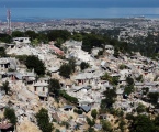
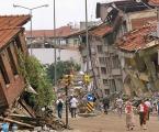
“The recent terrible earthquake in Nepal has highlighted the need to build better for natural disasters,” Friederich says. “Modern bamboo houses are more flexible in an earthquake, as they flex and absorb some of the energy.”


